Delivery Route Mapping Software: How NZ Businesses Plan Multi-Stop Routes
Drafted with AI assistance, edited and fact-checked by Sean Flannery. See our editorial policy.
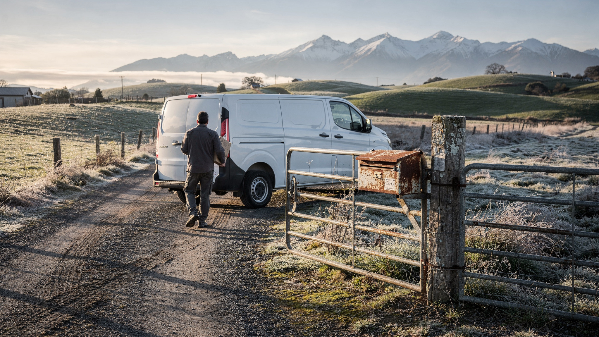
Delivery route mapping software turns a list of addresses into an ordered, mapped run for each driver, factoring delivery windows, vehicle capacity and stop notes. For New Zealand businesses that means planning around rural access, inter-island legs and winter highway closures, then sharing live ETAs with customers and capturing proof of delivery at each drop.
Picture a typical run sheet. A cluster of apartment drops in central Auckland, a farm supply order at the end of a gravel driveway on a rural delivery road, and a pallet that has to make a Cook Strait sailing before the afternoon is out.
Planning a day like that by hand takes real time. The SuperPharmacy case study, from an Australian online pharmacy, shows how much of that daily planning time the right tool can give back, and its story is told in full later in this guide.
What delivery route mapping software does on a New Zealand delivery day
The day starts with orders. They come from a web store, a phone booking or a standing weekly delivery. Each one carries an address, a window and sometimes an access note.
Delivery route mapping software places every address on the map, groups the stops into runs and puts each run in a sensible order.
Each driver then gets their run on their phone as a mapped sequence, with the notes for every stop attached.
Dispatch sees all the runs on one screen. Customers get a link showing when to expect their delivery. And when a drop is complete, the driver captures a photo or signature, so the record sits against the job straight away.
How to set up addresses, gate codes and rural notes before you route
A mapped run is only as accurate as the addresses behind it. Rural New Zealand addresses need extra care.
A rural delivery address with an RD number tells you the road and the delivery area, but not always which gate to use.
On a long driveway or a property with several entrances, the pin a map drops from the written address can sit some distance from where the driver needs to turn in.
Fix it once and every future run benefits. Here is a setup routine that suits a mixed urban and rural customer base:
- Import your real customer list, not a sample, so rural and hard-to-find addresses show up early.
- Confirm the pin for every rural stop at the gate or driveway entrance, and save it so it is reused next time.
- Add gate codes, landmarks and a contact phone number as stop notes the driver sees on arrival.
- Set a longer service time for rural properties, where a long driveway or difficult terrain adds time to the drop.
- Record home delivery preferences, such as leaving parcels at the back door, against the customer rather than the order.
- Update notes after each run, so what drivers learn on the road becomes part of the next plan.
Back to the farm supply order from the opening. With the pin on the gate, the code in the notes and extra time allowed for the driveway, the driver arrives knowing exactly where to go.
Coverage is the other rural reality. Plenty of back-country legs pass through patchy signal, so make sure the driver app keeps run details and stop notes readable when the connection drops.
How multi-stop sequencing balances delivery windows, vehicles and drop types
Once addresses are clean, sequencing does the heavy lifting. Good multi-stop routing weighs several things at once, not just the shortest path between pins.
Delivery windows come first. A booked morning slot at a café, an afternoon window a customer picked at checkout and an all-day business drop each have different flexibility.
The sequence has to honour the tight windows and fit the loose ones around them.
Vehicle capacity comes next. A pallet of building materials belongs on a truck with the right gear, while small parcels fit a van, so each load should go to a vehicle that can carry it.
Then drop type. A home delivery, a business counter and a rural property each take a different amount of time at the stop. Base those service times on your own records rather than one default, and the ETAs customers see will match the day more closely.
Locate2u plans multi-drop routes around delivery windows, vehicle capacity and driver availability, and can group orders by the delivery window each customer chose. Its dispatch planning tools then help the office assign each run to a driver and vehicle.
Inter-island work adds one more constraint. The pallet in the opening scenario has a sailing to make, and there are two practical ways to plan around it.
Treating the ferry as a fixed-time stop works well when one vehicle covers both islands in a day. Separate runs suit loads that cross overnight or change vehicles at the terminal.
Either way, check that the tool lets you set a fixed arrival time at a single stop, so the rest of the sequence builds around the timetable.
How to replan around South Island winter closures and changing road conditions
South Island winters can reshape the road network within hours. During a July 2026 weather event, after snow, flooding and wind closed several South Island routes, an NZ Transport Agency Waka Kotahi traffic bulletin advised: "People are encouraged to plan their travel carefully, especially on inland state highways, and to be prepared for closures or disruptions."
Ice is the other factor. An NZ Transport Agency Waka Kotahi bulletin of 4 August 2026, issued after snow closed several South Island state highways, said: "Those travelling late at night or early in the mornings are most likely to encounter icy conditions."
That has a direct planning use. Where customer windows allow, move inland and high-country stops toward the middle of the day.
Give early runs a little more time between stops too, so drivers can take the conditions at a comfortable pace.
When a closure arrives mid-run, a short routine keeps the day moving. Check the agency's highway information before dispatch each winter morning. Flag any stops beyond a closure, then resequence the remaining stops so time windows still hold where they can.
Next, update customers. Stops that move later in the day, or to tomorrow, should get a fresh ETA automatically rather than waiting on a phone call.
Locate2u supports real-time adjustments during the day, so a dispatcher can move, add or reassign stops without rebuilding every run from scratch.
Your own records become valuable here. The Ministry of Transport's October 2025 Transport Network Performance Report states: "We do not currently have any appropriate and frequent measures of road reliability."
So the clearest picture of how your regular routes behave, season by season, is the planned and actual arrival data in your own delivery history. Review it after each winter and build the extra time into next year's plans.
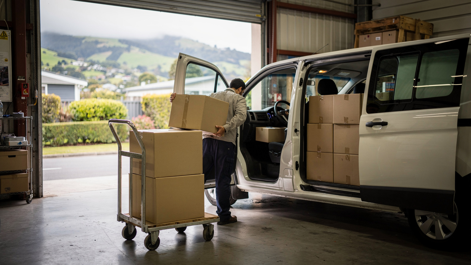
Where smarter sequencing saves the most time in busy urban areas
City runs look simple on a map because the stops sit close together. The time goes elsewhere.
On dense runs in central Auckland or Wellington, the distance between stops is short, so the time spent at each stop has a bigger say in when the run finishes. Finding the entrance, reaching the right floor and locating the recipient all count.
That makes stop time worth planning just as carefully as kilometres.
Group drops in the same building or block into one tight sequence. Add building access notes, loading zones and lift details, so drivers find the way in quickly.
Spread stops evenly across drivers, so no single run carries every tight window. And help first attempts succeed by sending customers an ETA they can plan around.
The apartment cluster from the opening makes a good trial run. Load it as a real day and see how the tool handles building notes and tight windows together.
How live tracking and proof of delivery keep customers informed
A live ETA answers the simplest customer question: when will it arrive?
Locate2u sends customers a real-time tracking link and automated notifications, so they can see the driver approaching and plan their day around the delivery.
That matters most for anything that needs someone home. Chilled food, prescriptions and bulky items all go more smoothly when the recipient knows the arrival time.
Dispatch benefits as well. With every vehicle on a live map, the team can see when a run is behind and move a later stop to another driver while there is still time to keep the window.
When the drop is complete, proof of delivery captures a photo, a signature, a timestamp and the location for each delivery. The record is available to the office and the customer straight away, so everyone works from the same clear information.
For drivers it becomes a simple habit at each stop: confirm the drop, capture the record, head to the next address.
Rural legs need one extra check. Where coverage is patchy, confirm during a trial that photos and signatures save on the device and sync once the signal returns.
How an online pharmacy cut daily route planning to minutes
SuperPharmacy's case study reports that the business has operated as an online pharmacy in Australia since 2000, delivering prescription medications, over-the-counter products and health essentials to customers nationwide.
As customers increasingly expected same-day delivery for prescriptions, its delivery team was spending up to one hour every day manually planning routes.
The manual process was also hard to change. If an urgent prescription came in during the day, or a delivery needed rescheduling, the whole route had to be regenerated from scratch.
SuperPharmacy moved its daily planning to Locate2u's route optimisation. According to the case study, what once took an hour of manual work now takes just 10 minutes, with optimised routes generated automatically from delivery locations, time windows and driver availability.
The page sums the change up as cutting route planning time by 83%.
Just as important, new prescriptions can be slotted into existing routes during the day without disrupting other deliveries. That flexibility let SuperPharmacy offer same-day prescription delivery as a core service.
In the team's words: "Before Locate2u, we had to generate new routes if we wanted to change anything. Now we can adjust the day's deliveries on the fly."
This is one Australian business's result, as reported on its case study page. For a New Zealand team, the practical takeaway is the measure itself: time your current planning, then time the same days inside the tool during an evaluation.
A practical checklist for testing route mapping tools on your own runs
The fairest test of delivery route mapping software is a week of your own work. Sample data is usually tidy. Real runs have rural pins, mixed windows and the occasional ferry.
Pick a typical week that includes at least one rural run and one urban run. Time how long planning takes today, then time the same days inside the tool.
| What to test | How to test it | What good looks like |
|---|---|---|
| Address handling | Import a real week of addresses, including rural ones | Pins can be saved at the gate, with room for codes and landmarks |
| Windows and vehicles | Add your real delivery windows, vehicle sizes and drop types | Runs respect the windows and send bulky loads to suitable vehicles |
| Fixed-time stops | Set a ferry sailing or booked appointment as a fixed arrival | The rest of the run builds around that time |
| Mid-day changes | Add an urgent job and move a stop after dispatch | Remaining stops update without rebuilding the whole day |
| Road disruptions | Replan a run as if a highway section has closed | Affected stops resequence and customers receive updated ETAs |
| Patchy coverage | Use the driver app on a rural leg with weak signal | Notes stay readable and delivery records sync when signal returns |
| Customer updates and records | Send yourself a tracking link and complete a test drop | A clear live ETA, plus photo, signature, timestamp and location saved to the job |
Ask a driver to run a trial route and share what worked. Drivers know the gates, the loading docks and the quickest way into each building, and their feedback shows straight away whether the notes and the sequence make sense on the road.
Then check the commercials. Look at how plans are billed, whether the plan suits your fleet today and as it grows, and what onboarding involves. Locate2u's current options are listed on the Locate2u pricing page.
Frequently asked questions
Is route mapping software worth it for a fleet of two or three vehicles?
Yes, when planning each day's runs takes real time or customers often ask when their delivery will arrive. Locate2u runs small fleets and large multi-driver operations on the same platform, so a small team can start with a typical week of its own stops and keep the same system as it grows.
Can a route include an inter-island ferry crossing?
Treat the sailing as a fixed-time stop at the terminal, or plan each island as its own run that starts once the vehicle has crossed. Check that any tool you assess lets you set a fixed arrival time at a single stop so the rest of the sequence builds around the timetable.
What is the difference between route mapping and route optimisation?
Route mapping places your stops on a map so you can see the run; route optimisation calculates the best order to visit them, using time windows, vehicle capacity and travel time. Most delivery teams want both in one tool, so the mapped run a driver sees is already the optimised one.
Can route mapping software pull orders straight from an online store?
Yes. Locate2u's online store integrations let orders and the delivery windows customers choose at checkout flow straight into route planning, grouped by window, without retyping addresses.
Start with clean addresses, sequence around the windows and vehicles you actually run, and keep a replanning routine ready for the South Island winter. To see how Locate2u turns your own stops into mapped, optimised runs, explore Locate2u route optimisation and test it against a typical week of New Zealand deliveries.